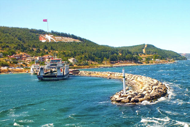
The word “Kilitbahir” means “Key to the Sea.” It reflects the critical role of the fortress built here to defend the Dardanelles Strait and the entire Ottoman Empire. During the siege of Constantinople by the Ottomans in 1453, the Genoese fleet managed to get through the Dardanelles in an unsuccessful attempt to save the capital of the Byzantine Empire. Mehmed the Conqueror drew the right conclusions from this situation and later decided to strengthen the Dardanelles with a chain of strategically placed fortifications. The immediate reason for the construction of fortresses on both shores of the Dardanelles were the fears of the sultan that the Venetians would attempt to wrestle Constantinople from the Ottoman control. The Italians spoke of these fortresses simply as i Castelli that is the castles.
Kilitbahir Tours


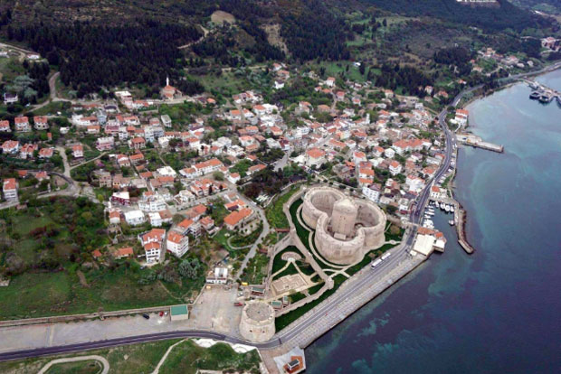
Kilitbahir Fortress (tr. Kilitbahir Kalesi) dominates the European shore of the Dardanelles at its narrowest point. The fortress is located opposite the city of Çanakkale, on the Asian shore of the Dardanelles. Its twin in Çanakkale – Çimenlik Fortress (tr. Kale-i Sultaniye) – is clearly visible across the water. Both castles were built on the orders of the Ottoman Sultan Mehmet the Conqueror in the years 1462-1463. Their aim was to ensure the control of the Ottoman Empire over the strait which was the most important sea passage to the Ottoman capital – Istanbul.

Kilitbahir Fortress is characterised by an unusual architectural concept. It was built on the plan of a five-leaf clover, obtained by the demarcation of three partially overlapping circles. Perhaps this plan was to symbolise the shape of a key, which would explain the origins of its name. Because it was built on such a plan, the walls do not run in straight lines, but in arches that were marked by the principal architect with a compass. Apparently, the passion of Sultan Mehmet felt for geometry inspired the creation of such an unusual shape of the fortress.
© Deniz Hotel, all rights reserved.
